
I love rodeo weekend! For those of you who do not live in Tucson, the rodeo is basically considered a holiday. The schools are closed for a 4 day weekend, and most businesses allow their employees to wear jeans and cowboy boots. It’s amazing. Though I’ve never actually attended the rodeo, anything that gives me a 4 day weekend (I’m a teacher), is a godsend.
Last weekend, my coworkers and I used the “holiday” to go on a hike that none of us had ever done before: Tanque Verde Falls. Apparently, this is a little known Tucson hideaway with waterfalls and nude beaches! Not sure how many people actually get naked out there, but just be forewarned if you check it out.
In planning for this hike, we struggled to find good information on it. A couple of sites mention the hike, but the directions are confusing. So hopefully I do a better job of explaining it so you don’t end up halfway through the Rincon Mountains like we did!
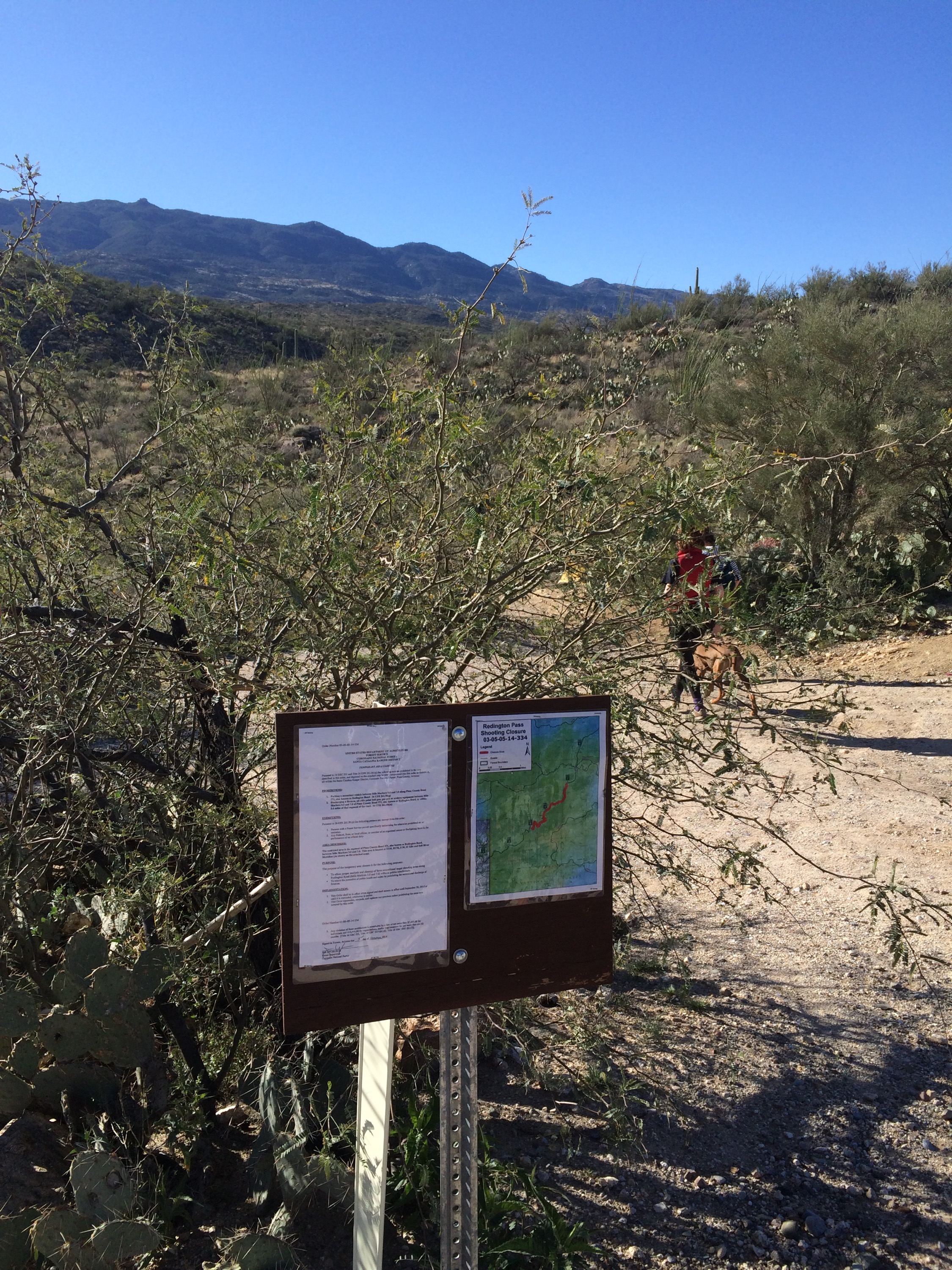
Directions: Head East on Tanque Verde and take it all the way to the mountains where it turns into Reddington Rd. As you start to drive up the mountain, the road will become dirt. It’s a little bumpy, but my Toyota Corolla made it just fine to the lower parking lot which isn’t very far once the road becomes dirt. You can stop here to access the lower falls or continue up a bit further (past the information area) to access the upper falls. If you are heading to the upper falls, you will need to pay close attention and watch for a small sign on your right side. Just past the trailhead, there will also be a small parking area on the right and a turn around on the left. We were the first ones up there when we went, but if you go on a weekend or during the summer, you will probably see other cars parked there.
Our group met up at the first parking lot. We decided we wanted to try the upper falls, so we all climbed into one SUV and continued the journey up the dirt road. I was happy to not be driving my little car as the road was a little treacherous in some areas – the high clearance was definitely a benefit! The road twists its way up the mountain, and we were there early, so there were no cars at the trailhead of the upper falls other than a truck with small camper in the truckbed where someone is obviously living (yay for explorers!). We didn’t think much of it and kept on driving up the mountain. There are a couple of signs at the trailhead, and even some pretty distinct parking areas just past the trailhead, but we completely missed them! I think we expected to see more cars at the trailhead – but there were none (save the nomad). Personally, I was distracted by 2 incredibly large crows sitting atop a dead cactus. Wish I had snapped a picture of them!
This is where we should have stopped the first time to access the upper falls trailhead


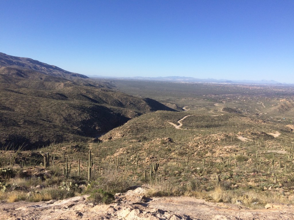
As we kept driving past where we should have stopped to access the trailhead, the road became more treacherous and a tad scary. If you start thinking to yourself: “this is kinda scary” or “I’m not sure my SUV can navigate that incredibly large bump/crater” – you probably went too far. My awesome comrade actually did make it over that incredibly large bump/crater, but alas, it wasn’t necessary as we realized we had gone too far, and headed back down. However, there is an amazing view from up there, and we took a few photos before turning around.


We also were able to see the canyon and the trailhead from up there, so we knew where to park once we went back down. See the canyon on the left side of the pic above? That’s where the falls are!
Finally, after turning around and driving back down the swiss cheese road, we parked at the trailhead and began the quick descent into the canyon.
The hike down to the water is very quick – couldn’t have been more than 15 minutes. The trail pops you right out onto the “nude beach.” There is a lot of sand and great places for just hanging out by the water – in Tucson, this is basically like finding a unicorn. Water!!

We dipped our feet in the water for a minute before deciding to head upstream. Next time, I want to go downstream to see if we can make it to the top of the lower falls, but the hike upstream is well worthwhile, too. This area definitely deserves several trips for exploration – beforehand, I felt like we needed to make the “right” choice for which hike we were going to do, but I don’t think you can go wrong. Just go!
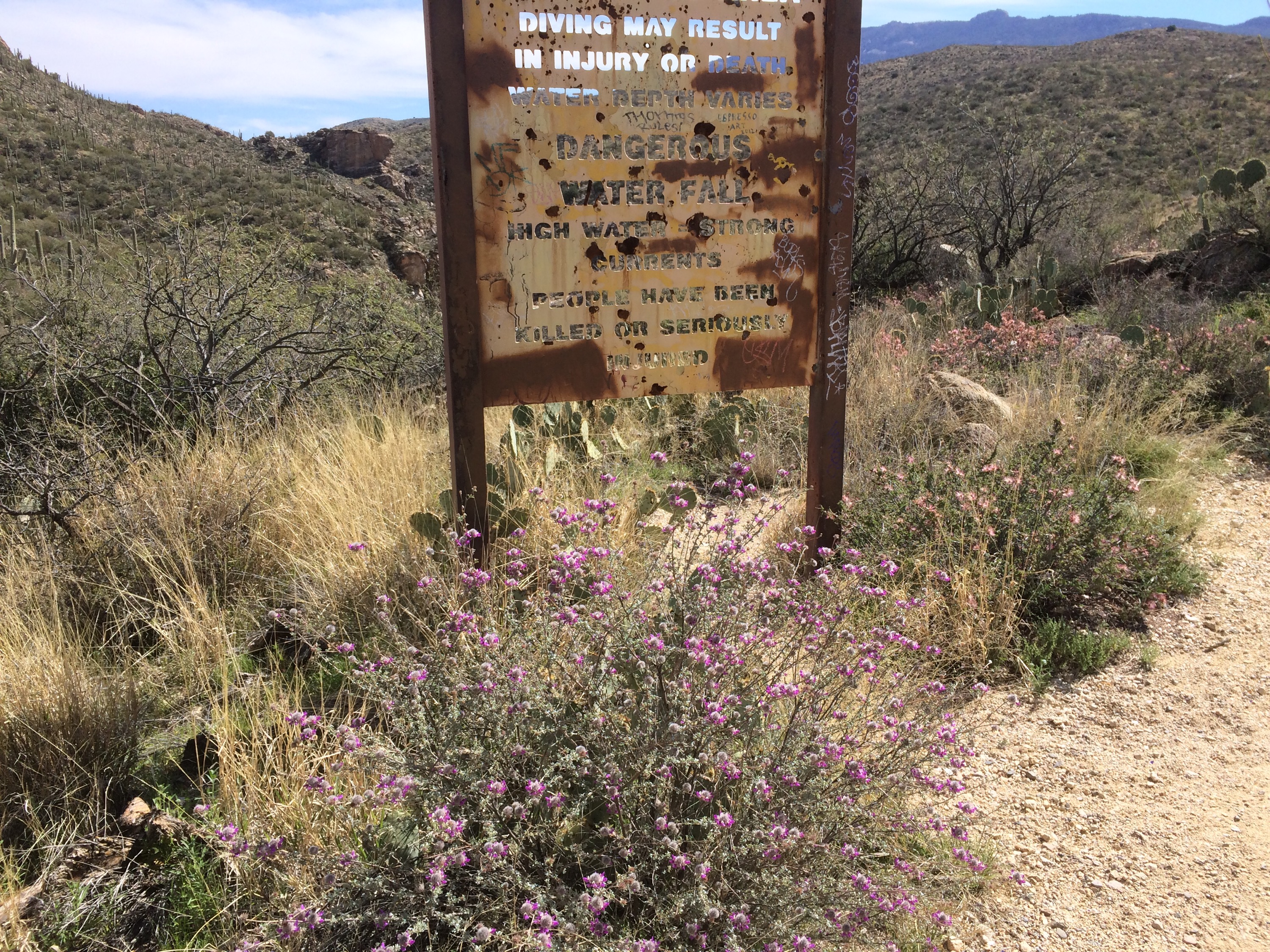
The hike upstream had various little pools and sandy beaches, but the wash is planked by rocks and boulders. In some areas, you will need to do a little novice scrambling/climbing on the rocks, but I am by no means a “climber,” and I was just fine. It may be a bit more intimidating if there is a lot of water, but unless it’s monsoon season (July – September), it shouldn’t be too difficult. If you go during monsoon season, check the weather reports and be very cautious as flash floods definitely happen in this area and quite a few people have died here.

We reached a point where we could see a couple of waterfalls from a distance, but only one person in our crew made it all the way back. There were a couple of 5 foot boulders that needed to be climbed in order to continue the journey to the waterfalls, and most of us opted to just put our feet in the water where we were. Also, we had a dog with us, and try as she might, she couldn’t jump on top of the boulder.
The water was ice cold, but invigorating!


All in all, we spent about 2 hours from the trailhead with plenty of relaxing time at the bottom. It’s really a “choose your own length” type of hike. You could just hike down to the beach or decide to head upstream or downstream as far you wish or until you can’t go any further. While this area is known for cliff jumpers, we didn’t encounter any waterfalls/cliffs that could be jumped. My guess is that the lower falls are where this occurs. I have zero intention of doing any jumping, but next time, I want to check out the lower falls!


Leave a comment